Skrzyczne: route from Szczyrk
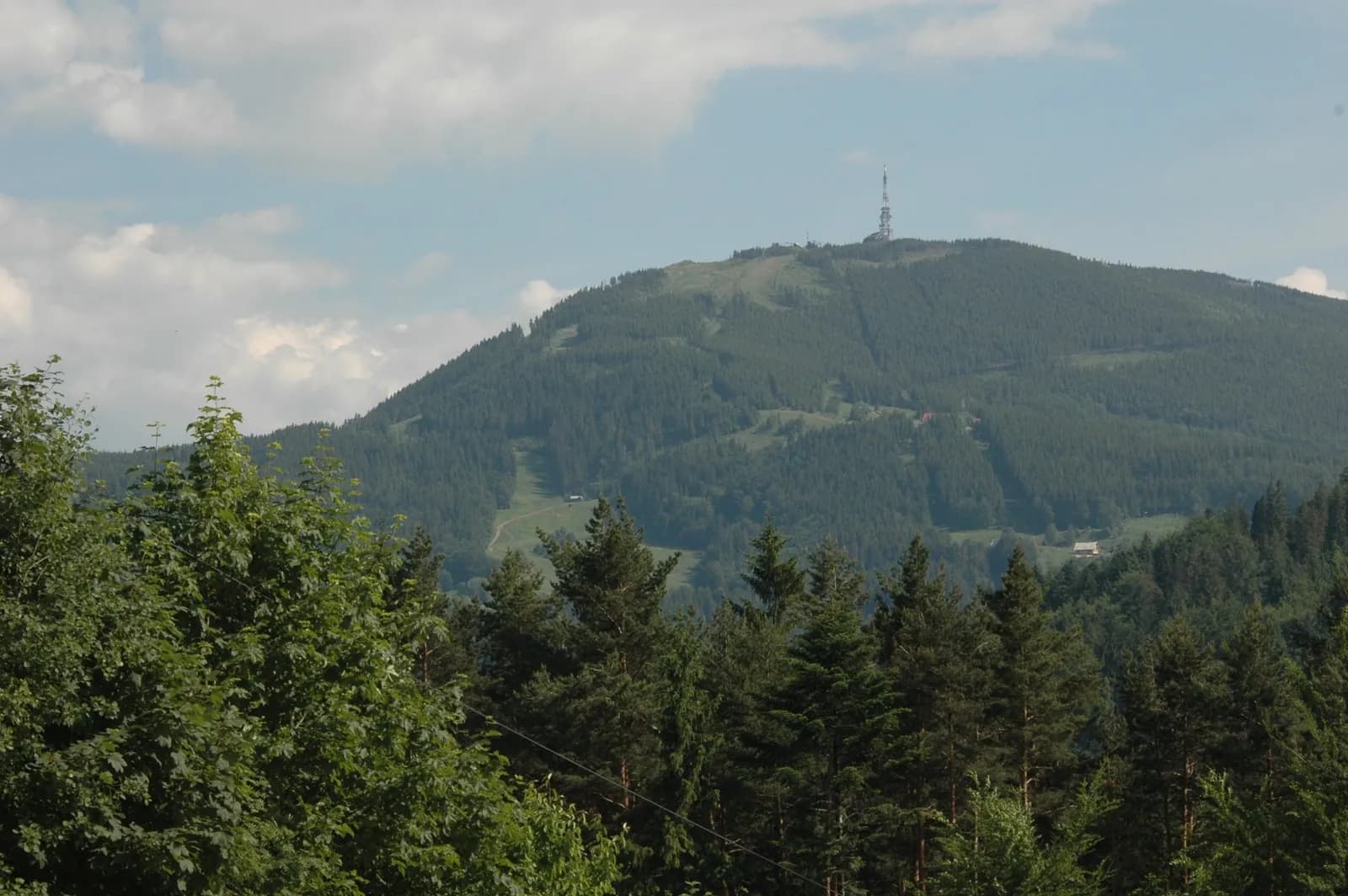
The highest peak in the Silesian Beskids: a short route, but with a solid elevation gain for its distance. A good choice for an afternoon or half a day in the mountains, without a full-day plan.
- approx. 10.6 km round trip
- approx. 783 m
- approx. 2–2.5h uphill, similar downhill
- Max S
Route description
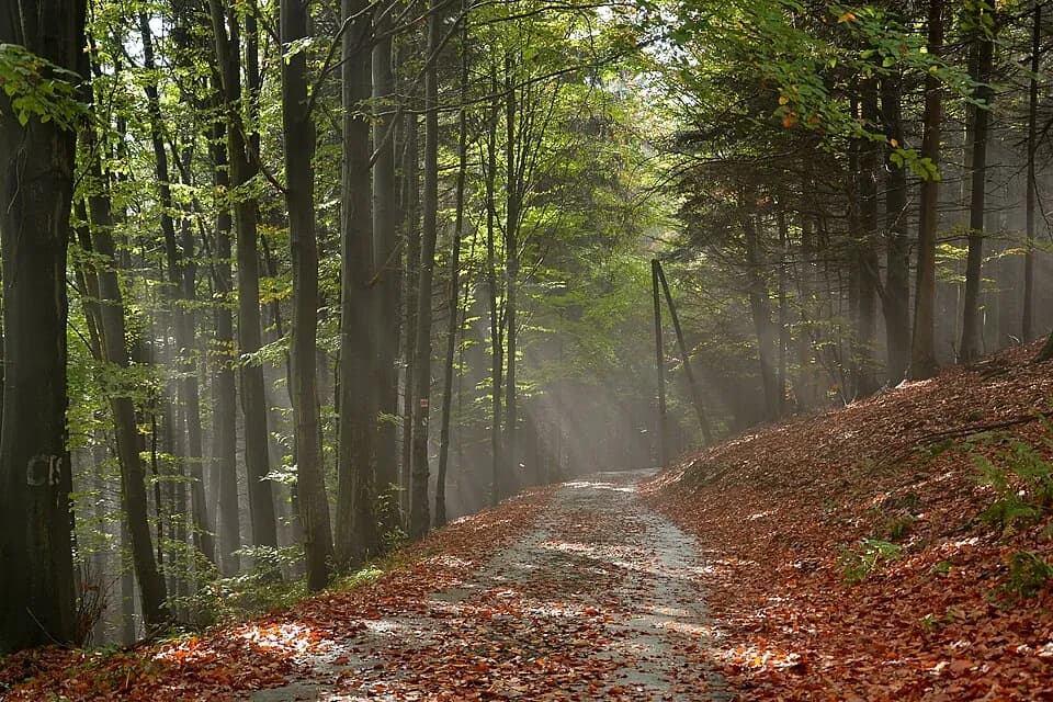
The route from Szczyrk to Skrzyczne leads to the highest peak in the Silesian Beskids. The initial paved stretch soon turns into a forest and mountain trail, with a solid elevation gain for the distance.
It's a short but intense route: around 783 m of elevation gain over 10.6 km round trip. The final stretch can be steep and slippery after rain, though there are no chains or sections requiring climbing experience.
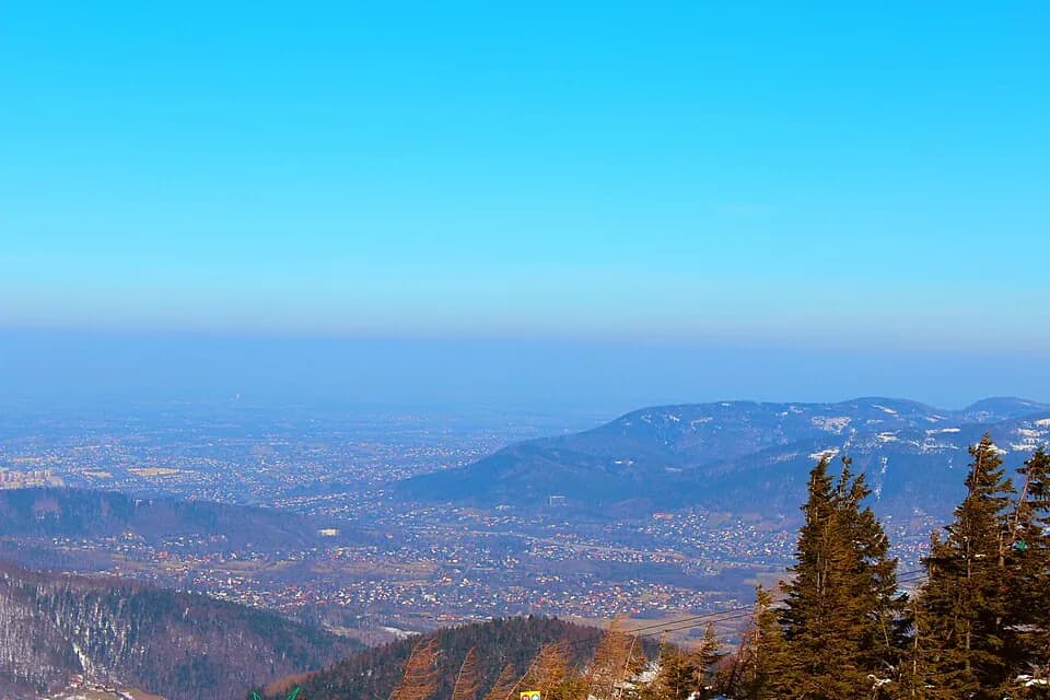
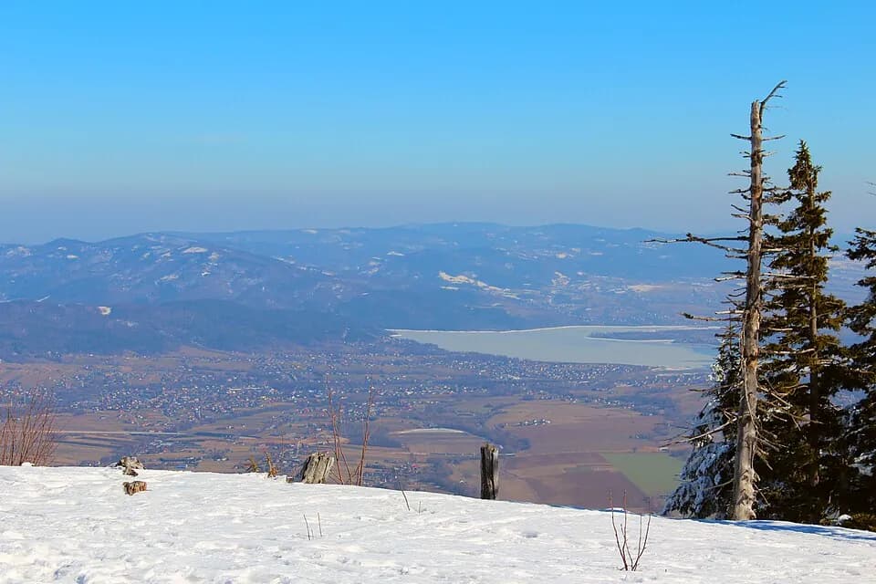
At the top waits a transmission tower and a wide panorama over the Silesian Beskids, with further ranges visible on a clear day. A good choice for an afternoon or half a day in the mountains, without planning a full-day trip.
Who it's for
For people looking for a solid but not full-day challenge: a good amount of elevation gain in a reasonable time.
Recommended gear
Good trekking shoes: the final stretch can be steep and slippery after rain.
Key information
- lower cable car station in Szczyrk (ul. Myśliwska)
- low/moderate: steep in places, no chains, slippery after rain or in winter
- moderate: a lot of elevation gain over a short distance
- paved at the start, then forest and mountain trail
Good to know
Best season
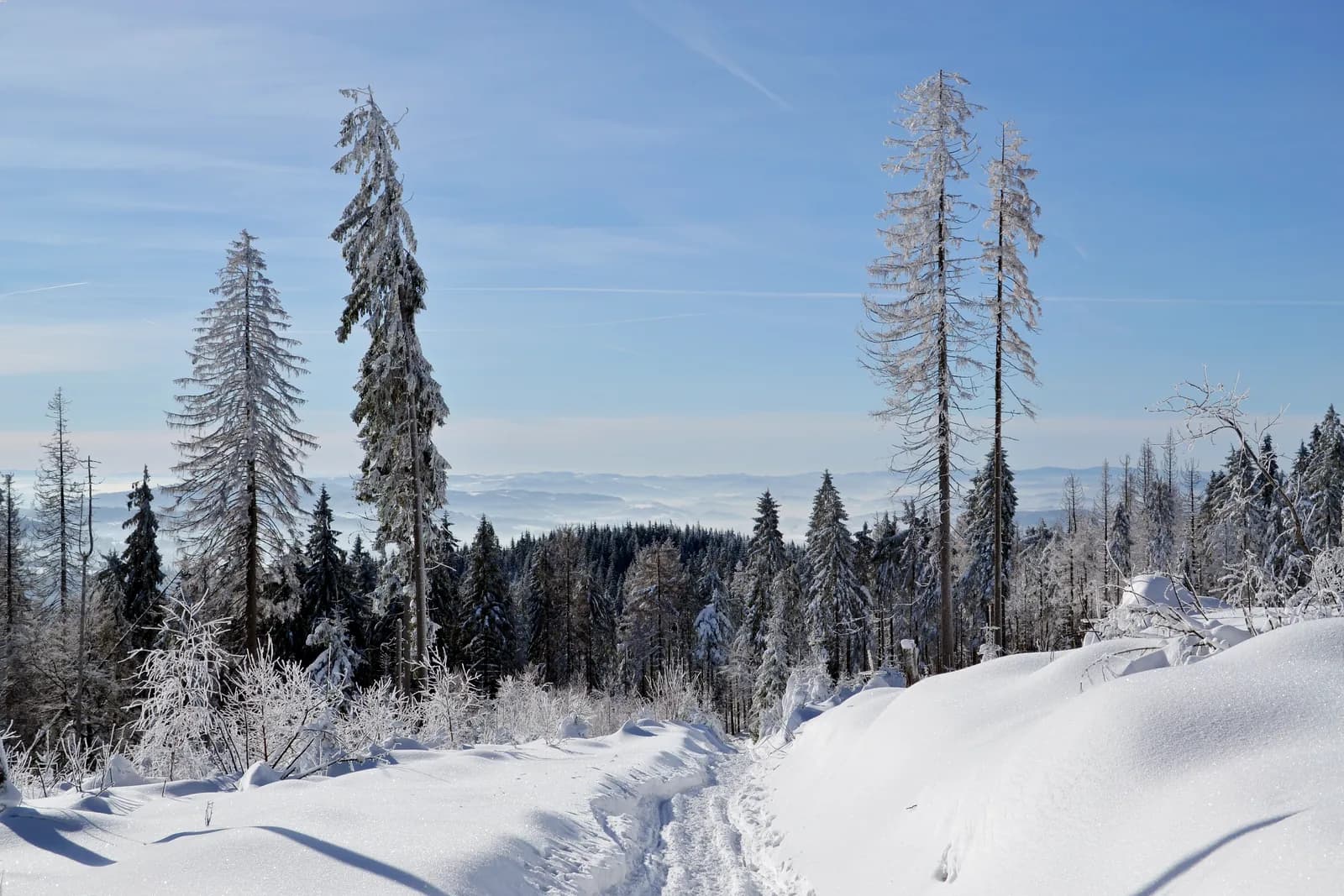
May–October is the most comfortable window; the upper section can ice over in winter.
Solid elevation gain
Solid elevation gain over a short distance: the final stretch is the steepest part.
Watch the weather
The steep final stretch gets slippery after rain: worth checking the forecast beforehand.
Right footwear
Good trekking shoes with grippy soles, especially on a wet surface.
Route map
- 514 m
- 1,257 m
Photos from the route
EgzoPower on this route
783 metres of elevation gain over approx. 10.6 km round trip is one of the steeper profiles in our route lineup: exactly where extra power is felt most. You reach the highest peak in the Silesian Beskids with energy to spare, not running on empty.
Other routes in the region
Book or ask a question
No deposit. We deliver to you. From 4 hours.