Czantoria Wielka: route from Ustroń Jaszowiec
The shortest of our Beskid routes, but a steep one: approx. 747 metres of elevation gain over roughly 10.2 km round trip. The reward at the top: a viewing tower and two mountain huts, one on the Polish side of the border, one on the Czech side.
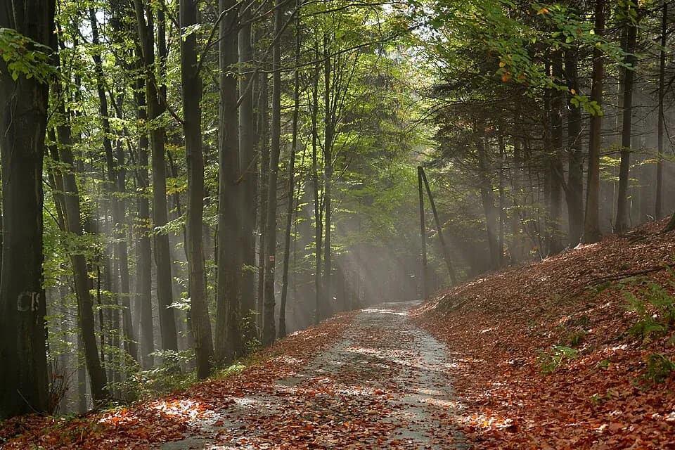
- approx. 10.2 km round trip (loop)
- approx. 747 m
- approx. 1h50 uphill
- Max S
Route description
The route from Ustroń (Jaszowiec/Polana) to Czantoria Wielka is a loop through a forest trail: the shortest of our Beskid routes, but a steep one, a logical if demanding climb with no technical difficulty.
The whole route follows a forest trail, around 747 m of elevation gain over a 10.2 km loop. The steep sections are best tackled in good footwear, but there are no chains or parts requiring high-mountain experience.
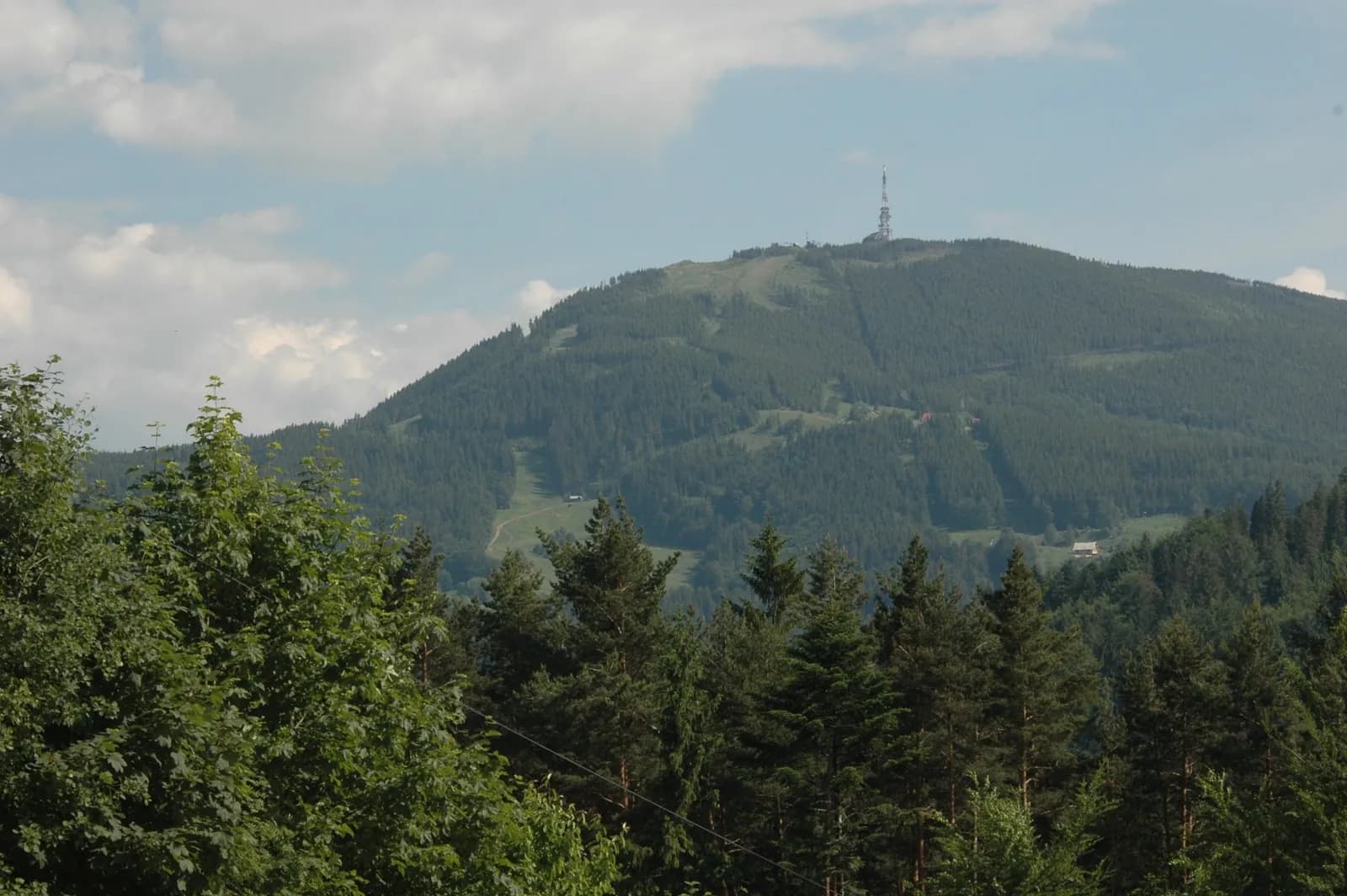
At the summit waits a viewing tower and not one but two mountain huts: one on the Polish side of the border, one on the Czech side. A good choice when you want a solid climb without a full day to spare.
Who it's for
For people who want a solid climb without dedicating a whole day to it: ideal for a shorter outing.
Recommended gear
Comfortable trekking shoes: the steep sections are best tackled in good footwear.
Key information
- lower cable car station Czantoria, Ustroń Jaszowiec/Polana
- low/moderate: steep but straightforward climb, no chains or exposure
- moderate: short but intense
- forest trail
Good to know
Best season
May–October is the most comfortable window; the forest trail can get muddy after rain.
Short but steep
Short but steep: all the elevation gain packed into under 5 km of climbing.
Watch the weather
The summit area can be windy: worth bringing an extra layer even in summer.
Right footwear
Comfortable trekking shoes with good grip for the steep sections of the trail.
Route map
- 498 m
- 995 m
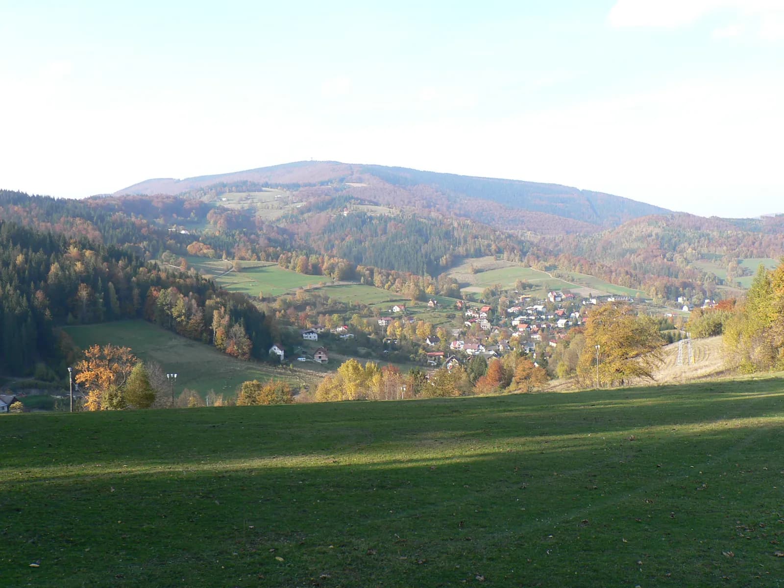
Photos from the route
EgzoPower on this route
That much elevation gain over such a short distance means one thing: an intense, concentrated climb. It's exactly the kind of profile where the assist is felt from the first minutes, not just after a few kilometres.
Other routes in the region
Book or ask a question
No deposit. We deliver to you. From 4 hours.