Barania Góra: route from Wisła Czarne
A route to where Poland's longest river begins: the springs of the Biała and Czarna Wisełka lie on the slopes of Barania Góra. Longer and gentler than Skrzyczne or Czantoria, but still with real elevation gain.
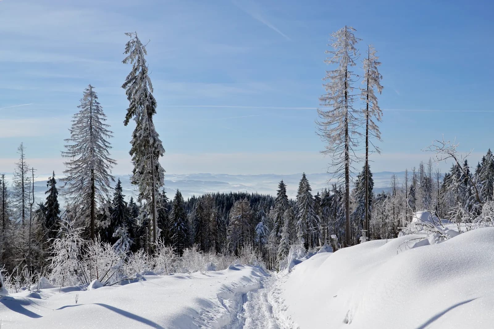
- approx. 18.1 km round trip
- approx. 722 m
- approx. 2h50–3h uphill
- Max S
Route description
The route from Wisła Czarne to Barania Góra leads to the source of Poland's longest river: the springs of the Biała and Czarna Wisełka streams begin on its slopes. Longer and gentler than Skrzyczne or Czantoria.
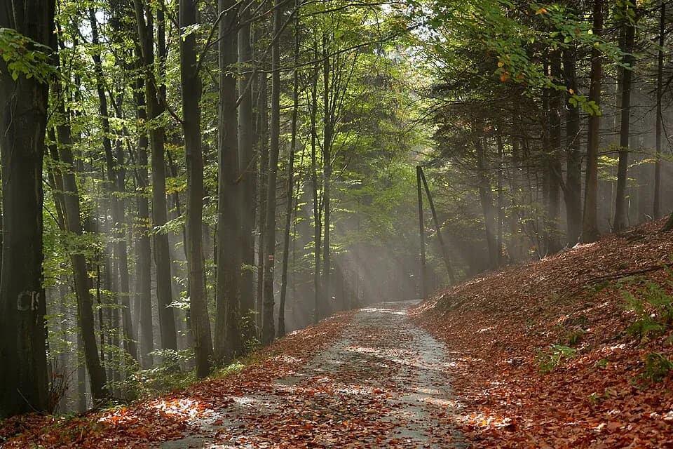
The first 2.5 km run along a paved road through the valley, then a forest trail: no chains, though the upper section can be wet and slippery after rain. Over 18.1 km round trip there's around 722 m of elevation gain, spread across the whole distance.
This is a route for those who'd rather have a longer, gentler walk than a short, steep climb: with an interesting stop along the way, not just the view from the top.
Who it's for
For people who prefer a longer, gentler walk over a short, steep climb, and want to see the source of the Vistula along the way.
Recommended gear
Trekking shoes that handle mud well: the upper section can be wet, especially after rain.
Key information
- car park in Wisła Czarne by the fire station
- low: no chains, the upper section can be muddy and slippery after rain
- moderate: longer distance, steady pace
- paved for the first 2.5 km through the valley, then forest trail
Good to know
Best season
May–October is the most comfortable window; the upper section gets wet after rain.
A long, gentle stretch
Elevation gain spread over a long distance: you can set your own pace.
Watch the weather
Check the forecast before setting out: the upper trail is sensitive to rainfall.
Right footwear
Mud-resistant trekking shoes, especially if it's rained recently.
Route map
- 566 m
- 1,206 m
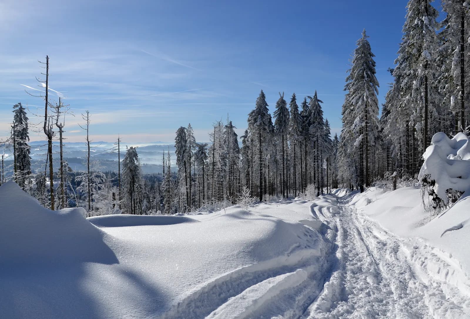
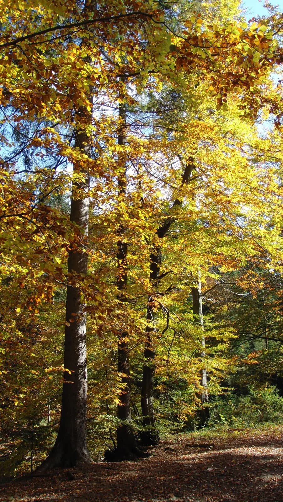
Photos from the route
EgzoPower on this route
Eighteen kilometres round trip is a distance where fatigue builds up gradually: extra power lets you keep a steady pace over the whole route, instead of slowing down in the second half of the climb.
Other routes in the region
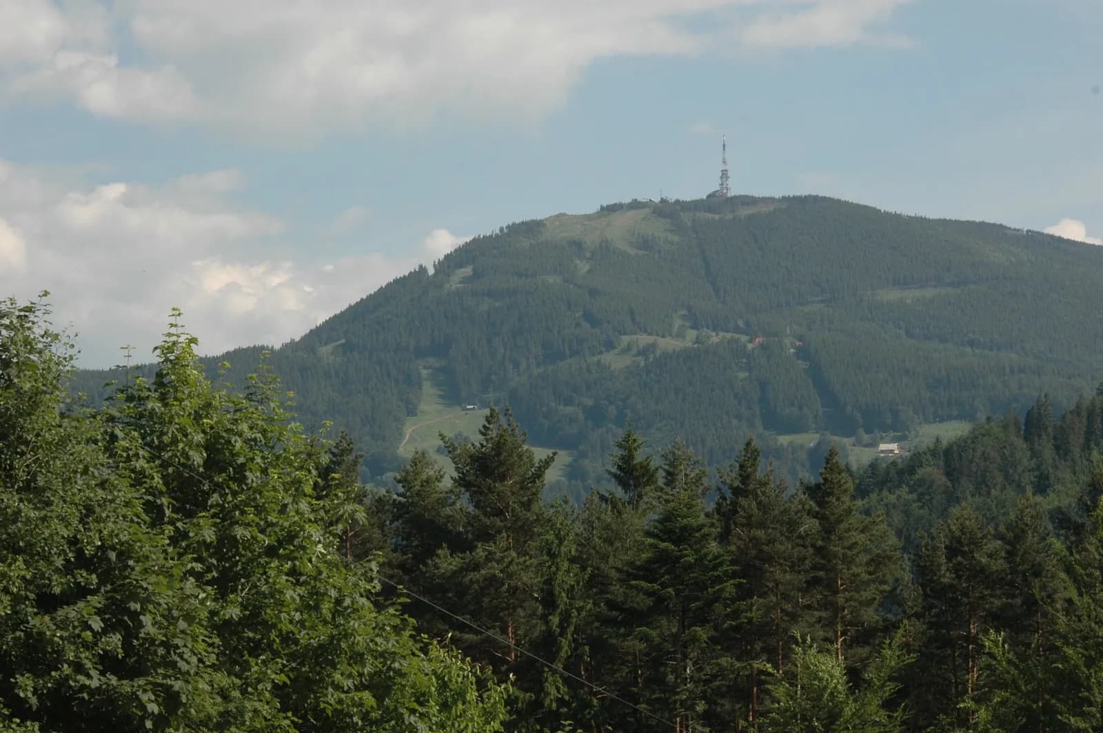
Skrzyczne: route from Szczyrk
Distance: approx. 10.6 km round tripElevation gain: approx. 783 mTime: approx. 2–2.5h uphill, similar downhill
See the route
Czantoria Wielka: route from Ustroń Jaszowiec
Distance: approx. 10.2 km round trip (loop)Elevation gain: approx. 747 mTime: approx. 1h50 uphill
See the route
Book or ask a question
No deposit. We deliver to you. From 4 hours.