Morskie Oko: route from Palenica Białczańska
One of the most recognizable routes in the Tatras, and one of the easiest. A wide, paved road with no technical difficulty, but a distance that can take its toll after a full day on your feet.
- approx. 15.4 km round trip
- approx. 570 m
- approx. 2h15–2h30 uphill, approx. 2h downhill
- Max S
Route description
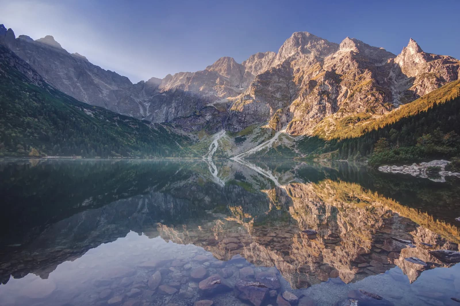
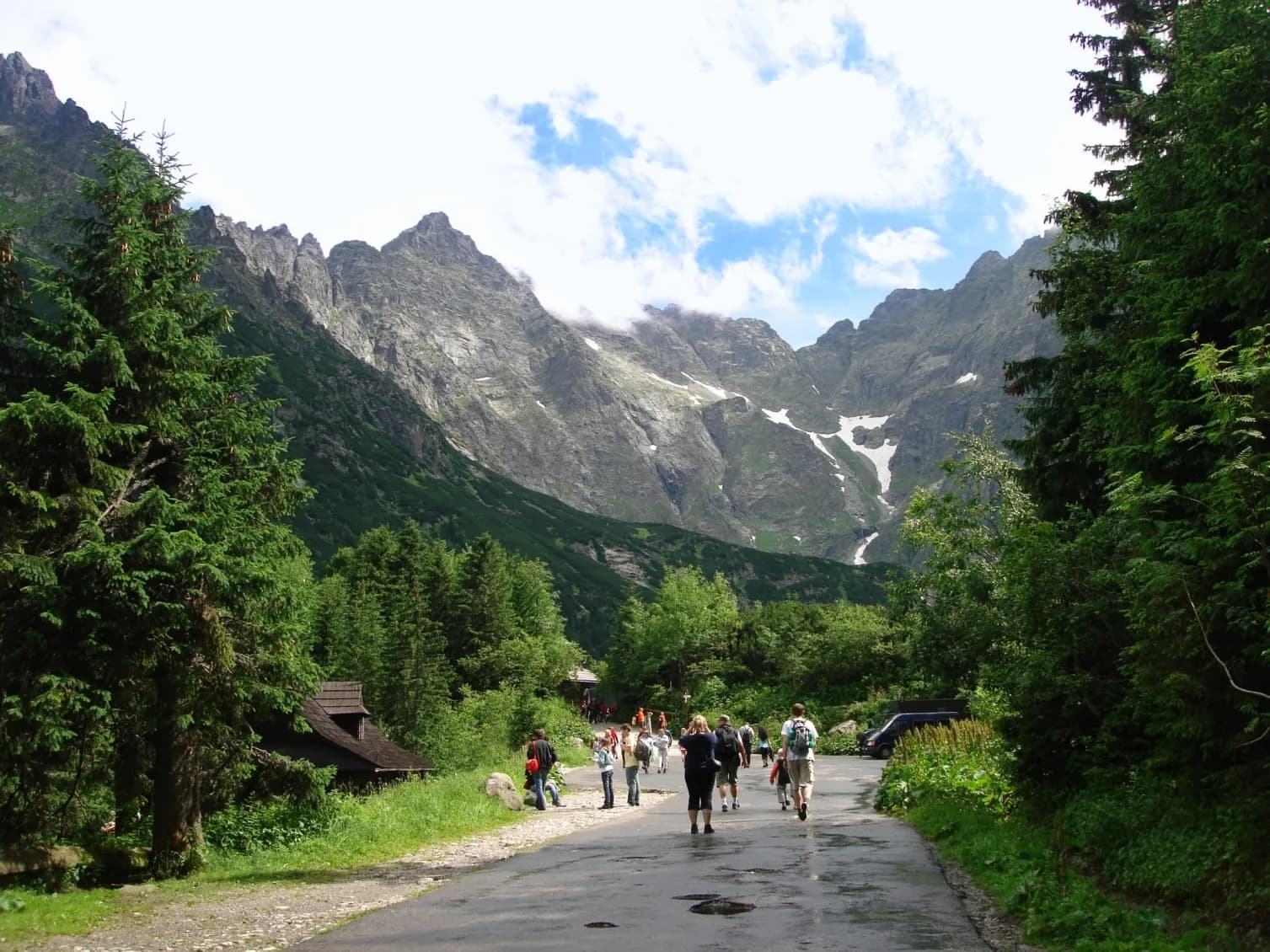
The route from Palenica Białczańska to Morskie Oko is one of the most recognizable trails in the whole Tatra range, and one of the easiest. A wide, paved road climbs gently up the valley, passing the Mickiewicz Waterfalls along the way.
The surface is paved almost the entire way, with the occasional forest shortcut for walkers. There are no steep climbs or exposed sections here: the real challenge is simply the distance, roughly 15.4 km round trip.
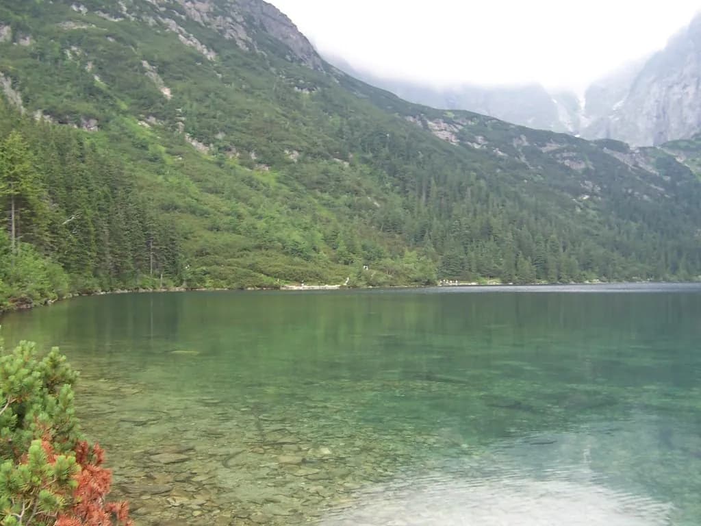
The reward at the end is Morskie Oko itself: one of the most beautiful lakes in Poland, ringed by the peaks of the High Tatras. The route is walkable year-round, though in winter expect snow and ice on the pavement.
Who it's for
For everyone: a "sure thing" route, from families with children to people taking their first steps in the Tatras.
Recommended gear
Comfortable trekking shoes and water: the route doesn't require specialist gear.
Key information
- Palenica Białczańska car park
- very low: wide road, no chains or exposed sections
- low/moderate: distance is the only real factor
- paved, with some forest shortcuts
Good to know
Best season
Year-round: busy in summer, bring crampons/microspikes for icy pavement in winter.
Easy going underfoot
A wide, paved road with no steep sections: also fine for less experienced hikers.
Watch the weather
Usually calmer down in the valley, but it can get windy right by the lake.
Right footwear
Comfortable trekking shoes are enough: no specialist footwear needed.
Route map
- 984 m
- 1,406 m
Photos from the route
EgzoPower on this route
Since September 2026, horse carriages only cover the initial stretch to Wodogrzmoty Mickiewicza: the remaining approx. 6 km is now covered on foot. EgzoPower gives you extra energy reserve for that longer, unassisted stretch, so the walk (and the way back) is a pleasure rather than an endurance test.
Other routes in the region
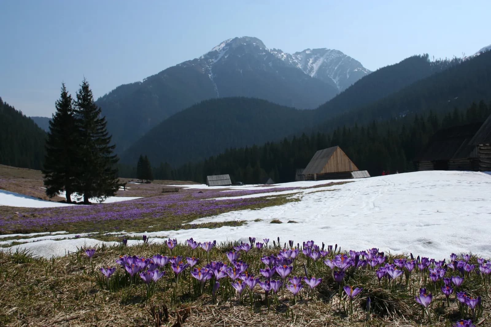
Dolina Chochołowska: route from Siwa Polana
Distance: approx. 12.6 km round trip to Polana ChochołowskaElevation gain: approx. 341 mTime: approx. 2–2.5h one way
See the route
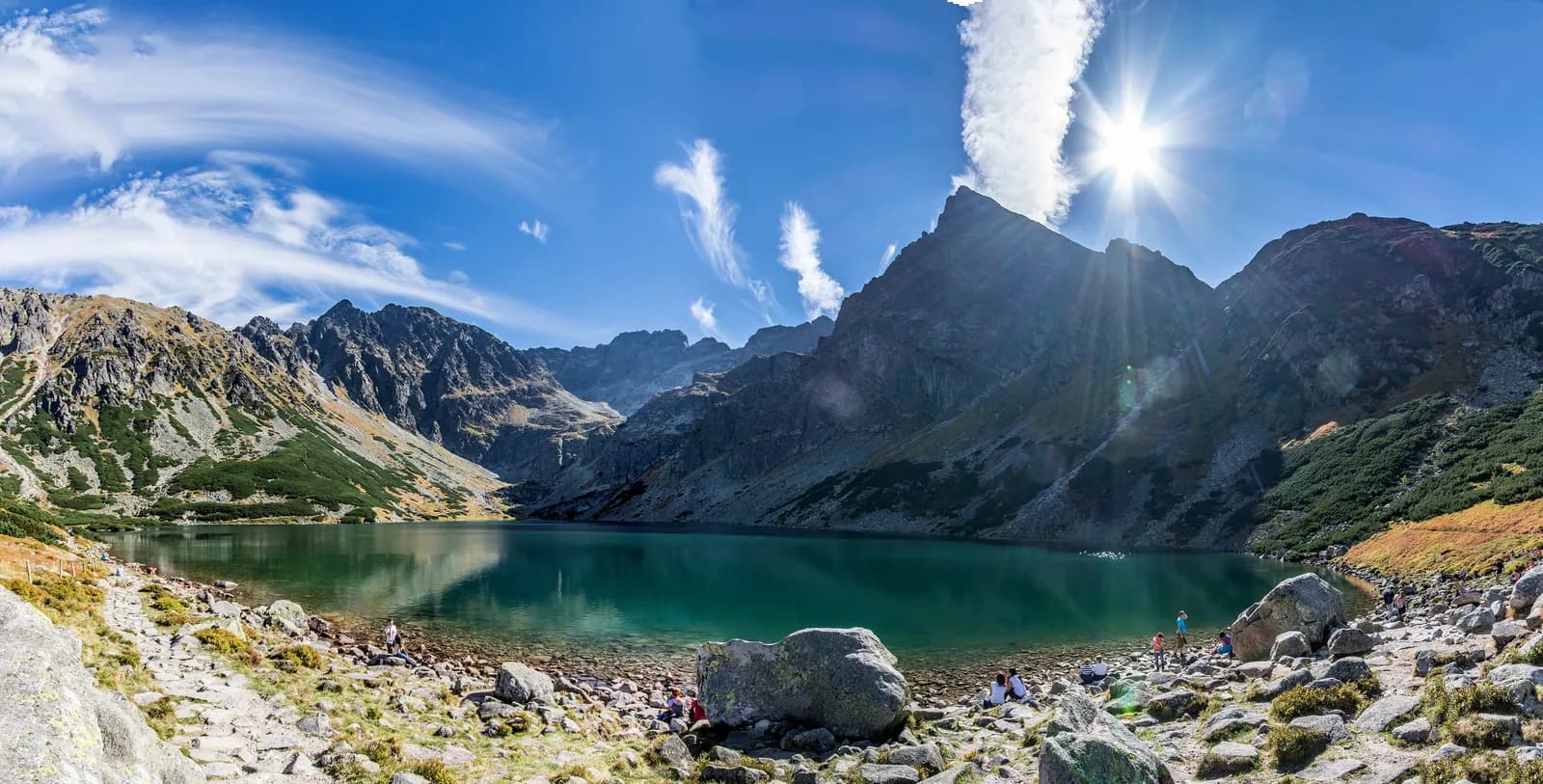
Czarny Staw Gąsienicowy: route from Kuźnice
Distance: approx. 12.2 km round trip from KuźniceElevation gain: approx. 780 mTime: approx. 5h at a steady pace, realistically 6–8h with breaks
See the route
Book or ask a question
No deposit. We deliver to you. From 4 hours.