Czarny Staw Gąsienicowy: route from Kuźnice
One of the most beautiful Tatra lakes: reached via a long, physically demanding climb. This is where the assist helps the most: no technical difficulty, but real elevation gain and a distance that tires your legs.
- approx. 12.2 km round trip from Kuźnice
- approx. 780 m
- approx. 5h at a steady pace, realistically 6–8h with breaks
- Max S
Route description
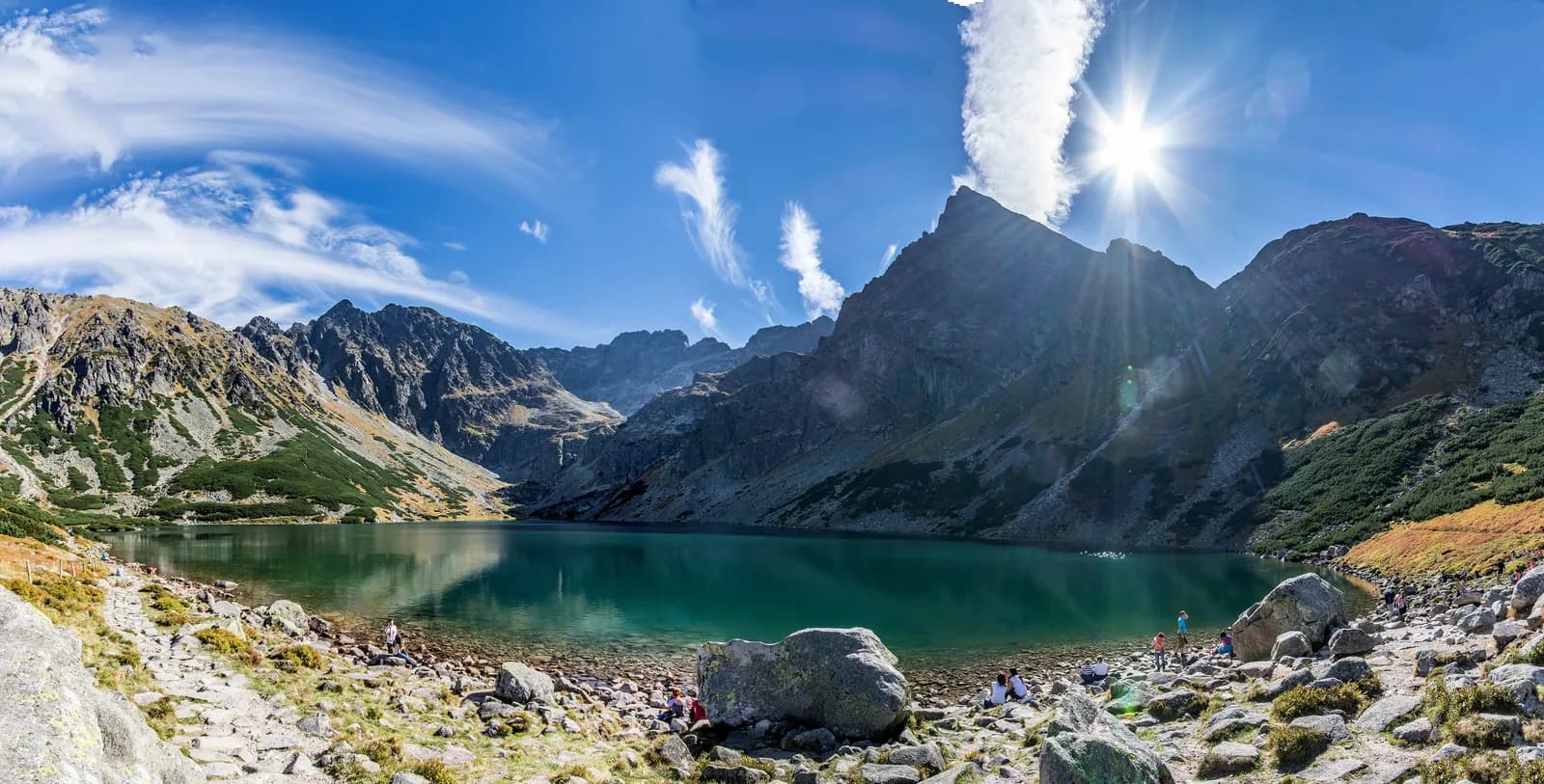
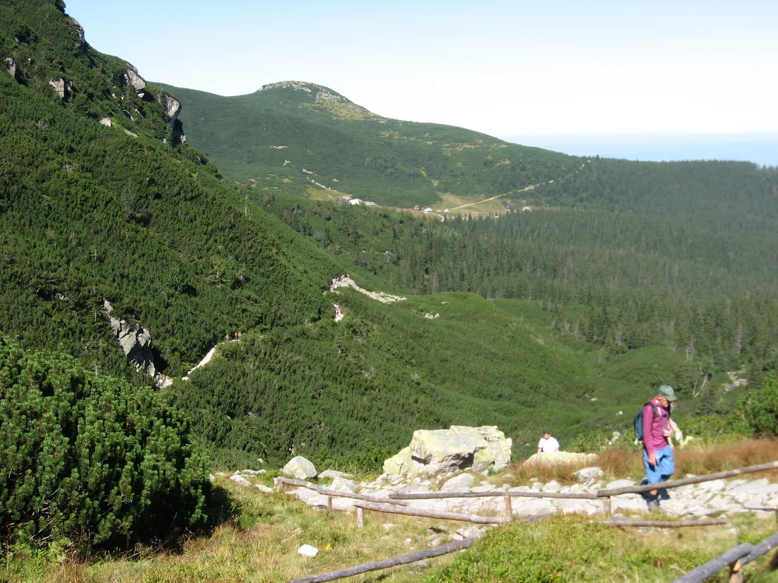
The route from Kuźnice to Czarny Staw Gąsienicowy runs through Dolina Jaworzynka to Hala Gąsienicowa, one of the most iconic spots in the Polish Tatras, and from there, up a rocky climb, to the lake itself.
The surface is rocky, with steep sections and stone steps, but no chains or exposure that would require high-mountain experience. The real challenge here is the combination of distance and real elevation gain: around 780 m over 12.2 km round trip.
Czarny Staw Gąsienicowy, ringed by the walls of Kozie Czuby and Orla Baszta, is one of the most beautiful lakes in the Tatras. Hala Gąsienicowa above the treeline can be windy even on a fine day in the valley, so bring an extra layer.
Who it's for
For people with average to good fitness who want to see one of the most beautiful spots in the Tatras without being fully exhausted on arrival.
Recommended gear
Sturdy trekking boots with a stiff sole, trekking poles, and a windproof layer: Hala Gąsienicowa can get windy.
Key information
- Kuźnice in Zakopane
- low/moderate: rocky climbs and stone steps, no chains or exposure in dry conditions
- high: a long route with real elevation gain
- rocky, with steep sections (Dolina Jaworzynki, Hala Gąsienicowa)
Good to know
Best season
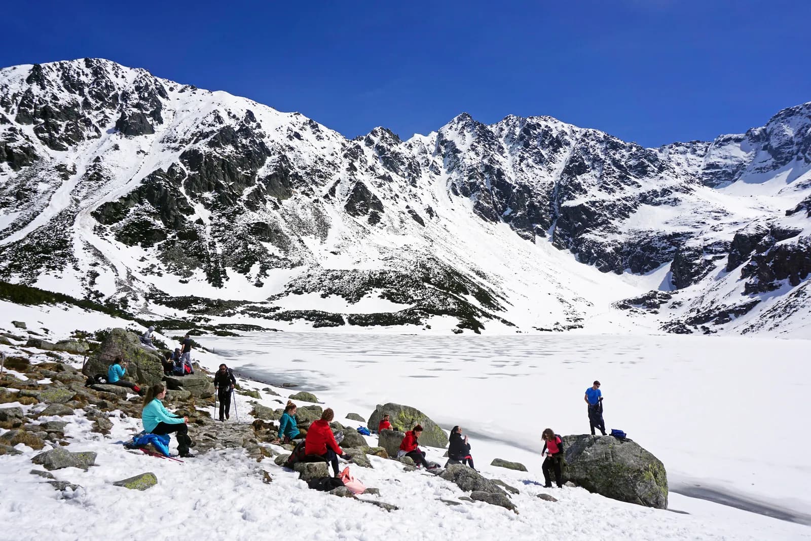
June–September is the most reliable window; the trail can ice over in winter and early spring.
Rocky climb
Rocky climbs and stone steps up to Hala Gąsienicowa: no chains, but it demands fitness.
Watch the weather
Hala Gąsienicowa and the lake area can be windy even when it's calm down in the valley.
Right footwear
Stiff-soled trekking boots and poles: the rocky surface takes its toll.
Route map
- 1,025 m
- 1,628 m
Photos from the route
EgzoPower on this route
This is the route where the assist helps the most in our whole range: 780 metres up and 12.2 km round trip. The extra power means more energy is left to enjoy the view, not just to reach it.
Other routes in the region
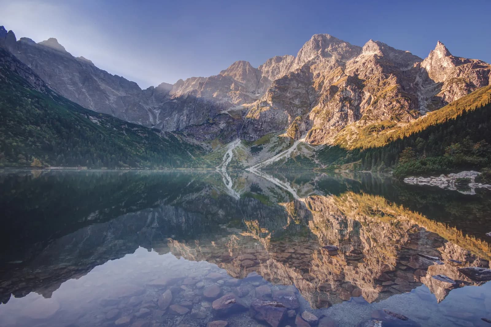
Morskie Oko: route from Palenica Białczańska
Distance: approx. 15.4 km round tripElevation gain: approx. 570 mTime: approx. 2h15–2h30 uphill, approx. 2h downhill
See the route
Dolina Chochołowska: route from Siwa Polana
Distance: approx. 12.6 km round trip to Polana ChochołowskaElevation gain: approx. 341 mTime: approx. 2–2.5h one way
See the route
Book or ask a question
No deposit. We deliver to you. From 4 hours.