Dolina Chochołowska: route from Siwa Polana
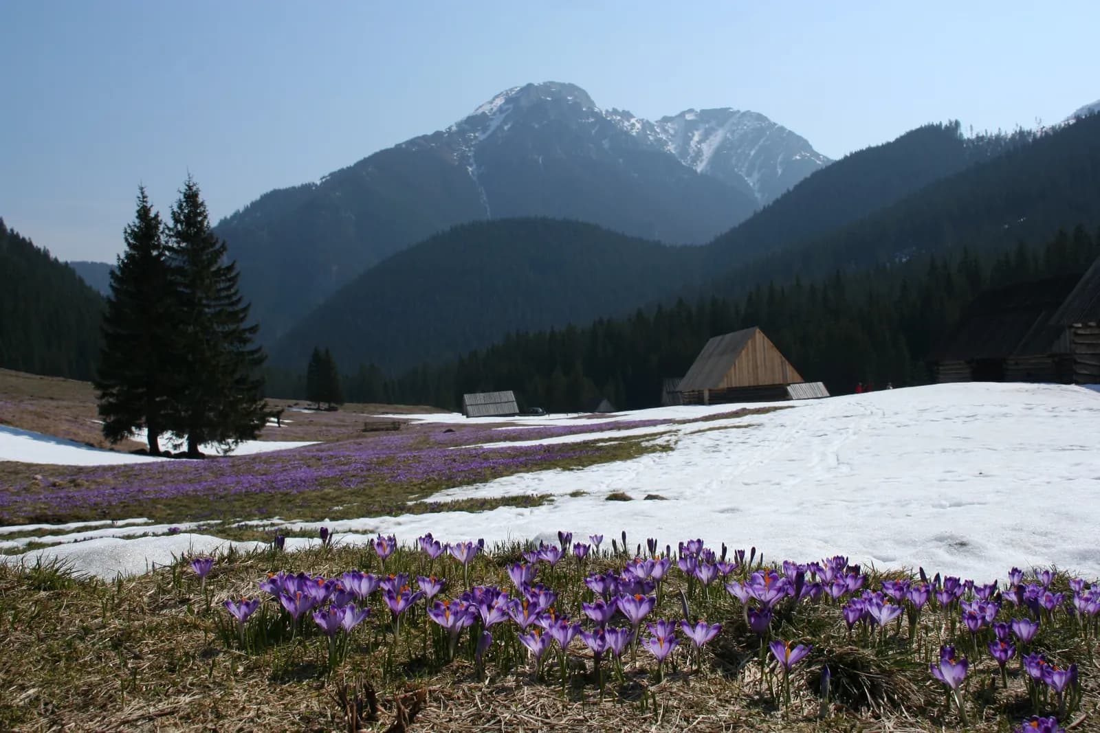
The gentlest of the Tatra valleys: a wide, almost flat road leading to one of the most beautiful corners of the Western Tatras. A great choice for an easy day in the mountains, or a starting point for a longer trip.
- approx. 12.6 km round trip to Polana Chochołowska
- approx. 341 m
- approx. 2–2.5h one way
- Pro S
Route description
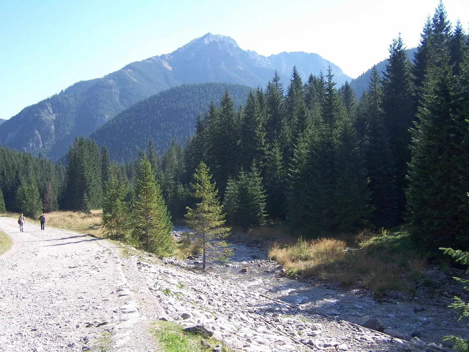
The route from the Siwa Polana car park into Dolina Chochołowska is a walk through the gentlest of the Tatra valleys. A wide gravel-and-paved road runs almost flat alongside the stream, framed by forest and views of the Western Tatras.
The surface is a gravel road, partly paved: no climbs that demand real fitness and no technical difficulty. It's even rideable by bike, and popular with families and anyone after a calm day in the mountains.
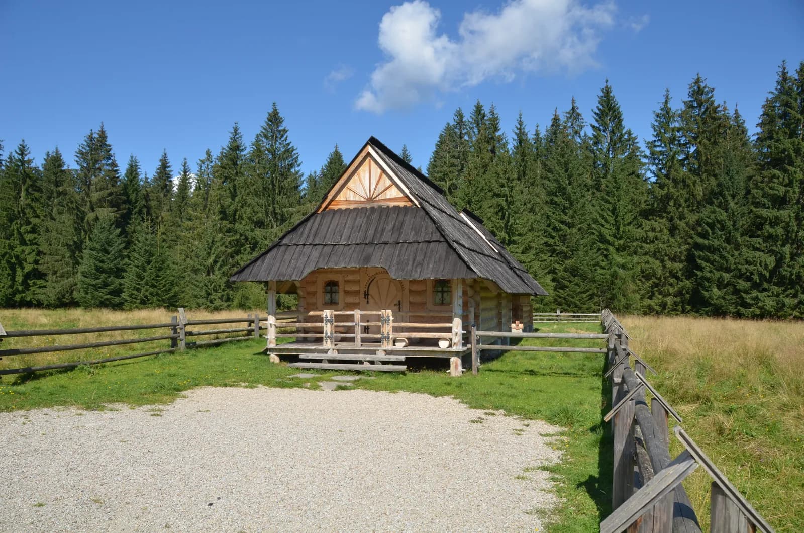
At the head of the valley waits Polana Chochołowska, with an old shepherd's hut and views of the surrounding peaks. It's also a good starting point for a longer trip further into the Western Tatras, if you have the time and the legs for it.
Who it's for
For families, seniors, and anyone looking for an easy way into the Tatra atmosphere without a demanding climb.
Recommended gear
Standard trekking shoes: the route is even rideable by bike.
Key information
- Siwa Polana car park
- very low: wide gravel/paved road
- low: gentle grade along the whole route
- gravel road, partly paved
Good to know
Best season
Year-round: the gentle grade makes it a fine winter walk too.
Great with kids
A flat, wide road with no obstacles: a good first outing with kids.
Watch the weather
The valley is sheltered by forest, so it's usually calmer than on open ridges.
Right footwear
Standard trekking shoes are enough: the route is even rideable by bike.
Route map
- 944 m
- 1,148 m
Photos from the route
EgzoPower on this route
Since the valley itself is easy, EgzoPower isn't about help on a hard climb here. It's extra energy to go further the same day: toward Wołowiec, Grześ or Trzydniowiański Wierch, where a real climb with genuine elevation gain begins.
Other routes in the region
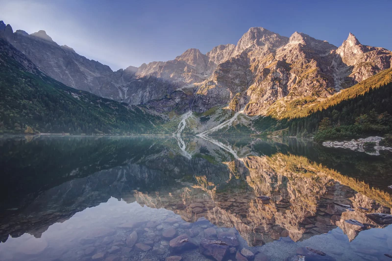
Morskie Oko: route from Palenica Białczańska
Distance: approx. 15.4 km round tripElevation gain: approx. 570 mTime: approx. 2h15–2h30 uphill, approx. 2h downhill
See the route
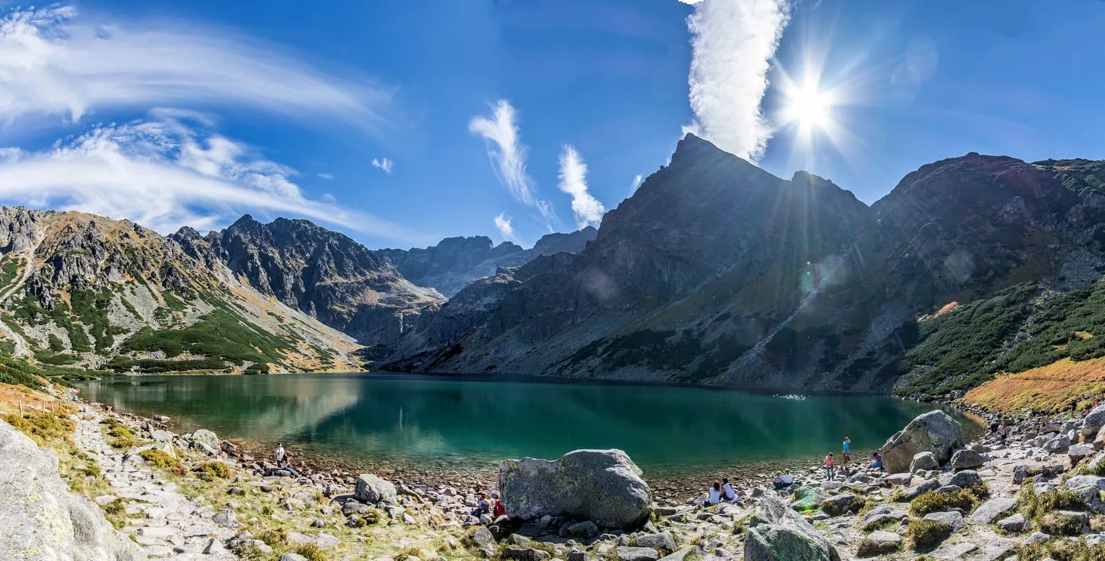
Czarny Staw Gąsienicowy: route from Kuźnice
Distance: approx. 12.2 km round trip from KuźniceElevation gain: approx. 780 mTime: approx. 5h at a steady pace, realistically 6–8h with breaks
See the route
Book or ask a question
No deposit. We deliver to you. From 4 hours.