Babia Góra: route from Zawoja (Markowe Szczawiny)
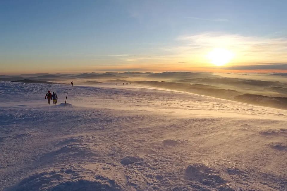
The highest peak in the entire Beskid range, and one of the most demanding routes we offer. Babia Góra National Park is a UNESCO Biosphere Reserve: above the treeline it gets exposed and windy, and on a clear day the view from Diablak reaches all the way to the Tatras.
- approx. 6.3 km one way
- approx. 1000 m
- approx. 3h10 uphill, 5–5.5h round trip
- Max S
Route description
The route from Zawoja Markowa to Babia Góra leads to the highest peak in the entire Beskid range, through Babia Góra National Park: a UNESCO Biosphere Reserve. It's one of the most demanding routes we offer.
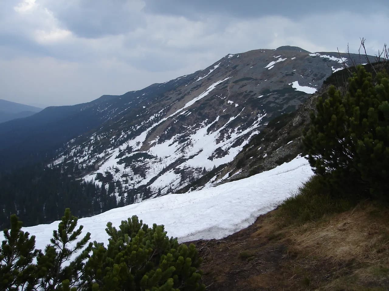
The trail starts in dense forest, passes the mountain hut at Markowe Szczawiny, and beyond Przełęcz Brona rises above the treeline: the terrain turns rocky, open and exposed, with around 1000 m of elevation gain over 6.3 km one way.
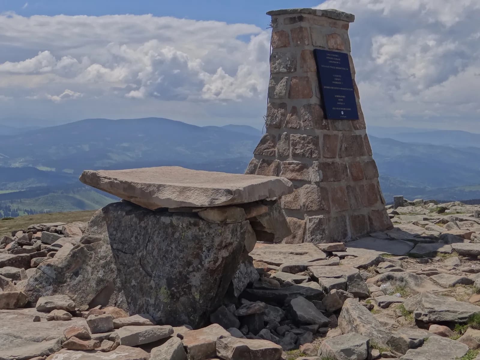
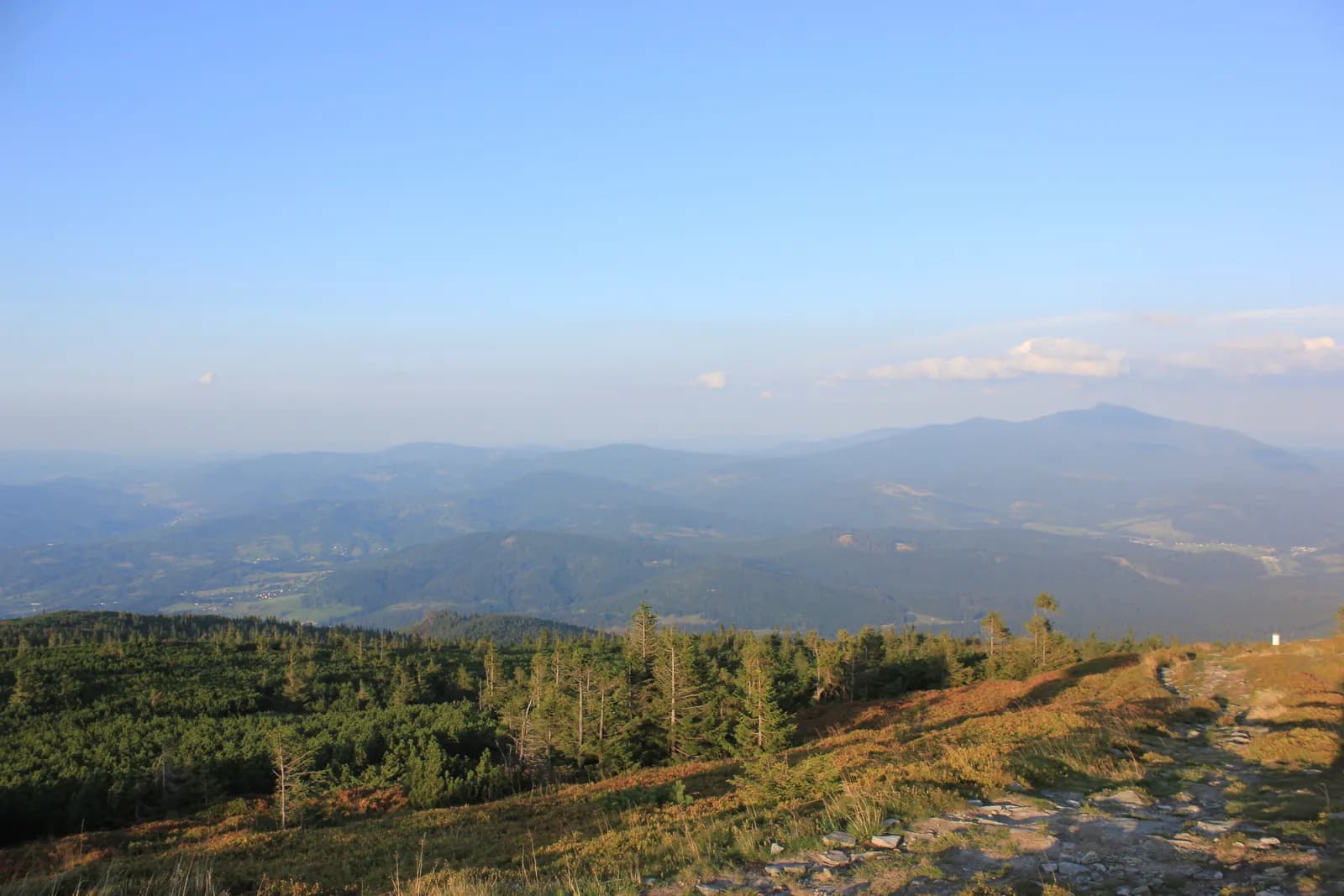
At the summit, on a clear day, the view reaches all the way to the Tatras. Above the treeline conditions can change quickly: expect strong wind and a noticeable drop in temperature, so come prepared even in summer.
Who it's for
For people in good shape who want to summit the highest peak in the Beskids and have experience with longer, more exposed climbs.
Recommended gear
Sturdy trekking boots, a windproof jacket and an extra layer: it gets windy above Markowe Szczawiny even in summer.
Key information
- Zawoja Markowa (Babia Góra National Park ticket office)
- moderate: a steep climb to Przełęcz Brona, strong wind and an exposed ridge above the treeline
- high: a long distance with real elevation gain
- forest trail up to the mountain hut, then rocky, open ridge
Good to know
Best season
June–September is the most reliable window; winter requires experience and winter gear.
Exposed ridge
Above Przełęcz Brona the trail is open and exposed to wind, with no forest cover.
Watch the weather
Conditions above the treeline change quickly: check the forecast right before setting out.
Right footwear
Sturdy trekking boots, a windproof jacket and an extra layer, even in summer.
Route map
Photos from the route
EgzoPower on this route
This is the most demanding route we offer outside the Tatras: 1000 metres of elevation gain is a distance where extra power genuinely changes the experience, especially on the final, steepest stretch up to Przełęcz Brona.
Other routes in the region
Book or ask a question
No deposit. We deliver to you. From 4 hours.